
 Login
Login
 |
RiverChattahoochee River
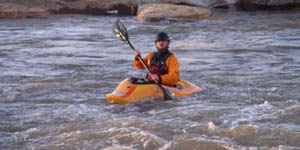
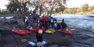
Kayaking
|
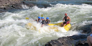
Rafting
|
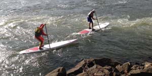
Paddleboarding
|
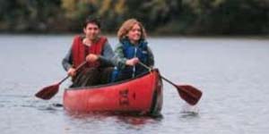
Canoeing
|
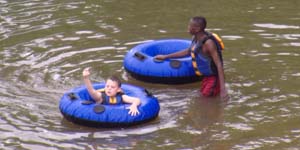
Tubing
|
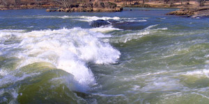
Rapids
|
Paddler Access Points
|
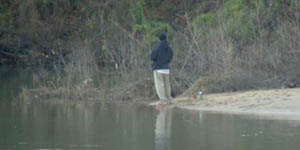
Fishing
|
Lakes
|
Length: 436 miles (702 kilometers)
|
"Chattahoochee" is an Indian word which means "river of painted rocks", possibly referring to the many colorful rock outcroppings in and along the river. The source of the Chattahoochee River is located in Jacks Gap at the southeastern foot of Jacks Knob. This is in the very southeastern corner of Union County, in the southern Blue Ridge Mountains, a sub-range of the Appalachian Mountains. The Chattahoochee River is one of the oldest and most stable river channels within the United States, since it's essentially "locked" in place, flowing along the Brevard Fault Zone, and cannot meander and change course over time like most rivers. The Chattahoochee River forms the southern half of the Alabama and Georgia border, as well as a portion of the Florida border and is about 430 miles long. The Chattahoochee, Flint, and Apalachicola rivers together make up the Apalachiacola–Chattahoochee–Flint River Basin (ACF River Basin). The Chattahoochee River makes up the largest part of the ACF's drainage basin. From its source in the Blue Ridge Mountains, the Chattahoochee River flows southwesterly to Atlanta and through its suburbs. It eventually turns due south flowing through a series of reservoirs and artificial lakes. It flows by Columbus, the second-largest city in Georgia, and the Fort Benning Army base. At Columbus, it crosses the Fall Line of the eastern United States creating a drop in elevation. This area is home to the Chattahoochee River Whitewater, the longest urban whitewater course in the world with rafting, kayaking, tubing, river surfing and more. From Lake Oliver to Fort Benning, the Chattahoochee Riverwalk provides cycling, rollerblading, running and walking along 15 miles of the river's banks. Farther south, it merges with the Flint River and other tributaries at Lake Seminole near Bainbridge, to form the Apalachicola River that flows into the Florida Panhandle. |
 |
|
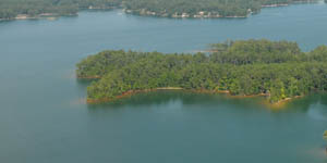
Lakes on the Chattahoochee River
(in order of flow)
|
|||
|---|---|---|---|
| Lake Name |
Full Pool (MSL) |
Acres | Map |
| 1,071.0 | 38,542 |
|
|
| 797.0 | 674 | ||
| 635.0 | 25,864 |
|
|
| 521.0 | 5,860 | ||
| 404.0 | 940 | ||
| 337.0 | 2,150 | ||
| 188.0 | 45,181 |
|
|
| 105.0 | 1,540 | ||
| 77.5 | 37,500 | ||
| Outflows of the Chattahoochee River |
| Apalachicola River |
|
Quick Links Lake Harding News Lake Harding Photos Lake Harding Videos |


